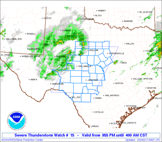
***General Discussion Weather Thread #2 2018***

Status
Not open for further replies.

Miguel Cervantes

Jedi Master
Folks out I-20 around Carrollton need to pay attention just in case this one survives crossing the state line.

<blockquote class="twitter-tweet" data-lang="en"><p lang="en" dir="ltr">Hail is likely on the storm rolling eastward along I-20 in East Alabama https://t.co/a9DLuRG8gL</p>— James Spann (@spann) March 19, 2018</blockquote>
<script async src="https://platform.twitter.com/widgets.js" charset="utf-8"></script>

 

Miguel Cervantes

Jedi Master
For you folks in SOWEGA, I am impressed with how Kerri Copello is handling tracking your storms this afternoon. I'm not familiar with your tv stations, but have been watching her on twitter. If I were you that is the station and Met I would tune in to down that way.

<blockquote class="twitter-tweet" data-lang="en"><p lang="en" dir="ltr">STRONG STORM ALERT issued for Dougherty & Calhoun County until 5 p.m. A strong thunderstorm is near Edison, or near Morgan, moving northeast at 30 mph. Dime size hail and winds in excess of 40 mph will be possible with this storm. @wfxl #gawx pic.twitter.com/nOFU9htZeq</p>— Kerri Copello (@KerriWFXL) March 19, 2018</blockquote>
<script async src="https://platform.twitter.com/widgets.js" charset="utf-8"></script>
 

Nicodemus

The Recluse
Staff member
Hard rain just commenced here.
 

gunnurse

Senior Member
Thankful that we have had a cloudy, rainy 60 degree day. Clear, sunny, and warm zapped us hard last time.
 

Deer Fanatic

Cool ? Useless Billy Deer Guide
just started raining here..... I can here lots of thunder to the west
 

KyDawg

Gone But Not Forgotten
We expecting some rough weather here this later this afternoon.
 

smokey30725

Senior Member
Drizzling and calm here right now. Feels a little eerie.
 

elfiii

Admin
Staff member
Not squat in 30341.
 

Miguel Cervantes

Jedi Master
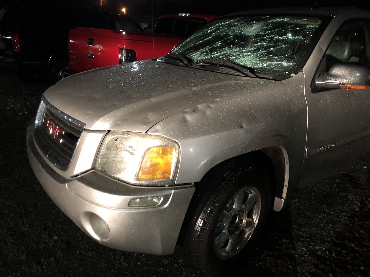
This line of training supercells blew up about an hour and a half ago in NW MS and is now moving through NE AL on a ESE path. It is a mean bunch of storms that has already produced two funnels and a good amount of hail, some as large as 2.75".

<blockquote class="twitter-tweet" data-lang="en"><p lang="en" dir="ltr">555P- Storms with very large hail and tornadoes affecting northern AL right now. We are closely monitoring potential for storms to form farther south on the line and affect Central AL this evening/tonight. The pink-shaded counties are under a Tornado Watch #alwx pic.twitter.com/ZbjwMK37xt</p>— NWS Birmingham (@NWSBirmingham) March 19, 2018</blockquote>
<script async src="https://platform.twitter.com/widgets.js" charset="utf-8"></script>
 

Jeff C.

Chief Grass Master
This line of training supercells blew up about an hour and a half ago in NW MS and is now moving through NE AL on a ESE path. It is a mean bunch of storms that has already produced two funnels and a good amount of hail, some as large as 2.75".

<blockquote class="twitter-tweet" data-lang="en"><p lang="en" dir="ltr">555P- Storms with very large hail and tornadoes affecting northern AL right now. We are closely monitoring potential for storms to form farther south on the line and affect Central AL this evening/tonight. The pink-shaded counties are under a Tornado Watch #alwx pic.twitter.com/ZbjwMK37xt</p>— NWS Birmingham (@NWSBirmingham) March 19, 2018</blockquote>
<script async src="https://platform.twitter.com/widgets.js" charset="utf-8"></script>

Appreciate it, just heard the report on the WR.
 

malak05

Senior Member
That beast part of line thats just north of cullman which has had confirmed tornados and baseball size hail is almost started tilting ESE at this point people need to track that one its nasty
 

Miguel Cervantes

Jedi Master
It is time for folks in the NW sector of GA, from Cartersville south to Carrollton to start paying attention to your local mets and have your wx radio on. Be prepared to take cover when alerted.

This line of brutal cells moving through N AL is moving closer to the Western border of Georgia and will enter and effect theses areas if it stays together. It has already dropped one tornado and has multiple reports of large hail across the state of AL thus far.

This line of storms is NOT playing.

DYsSzfvU0AAjkEz.jpg


DYsSzewU0AA9bkL.jpg


DYsQ1I0UQAAsMIr.jpg


<blockquote class="twitter-tweet" data-lang="en"><p lang="en" dir="ltr">If these tornadic storms hold together, they will move into Rome around 9:30 and Cartersville around 9:50pm. @cbs46 We will be on Peachtree TV from 9-10PM tracking these storms! pic.twitter.com/7NTDcZUXQ6</p>— Ella Dorsey (@Ella__Dorsey) March 20, 2018</blockquote>
<script async src="https://platform.twitter.com/widgets.js" charset="utf-8"></script>
 

smokey30725

Senior Member
Getting ready here in Flintstone. Local spotter saying its 20 minutes out.
 

Miguel Cervantes

Jedi Master
URGENT - IMMEDIATE BROADCAST REQUESTED
Tornado Watch Number 15
NWS Storm Prediction Center Norman OK
905 PM EDT Mon Mar 19 2018

The NWS Storm Prediction Center has issued a

* Tornado Watch for portions of
Northwest and Central Georgia

* Effective this Monday night and Tuesday morning from 905 PM
until 400 AM EDT.

* Primary threats include...
A few tornadoes possible
Scattered damaging wind gusts to 70 mph possible
Isolated very large hail events to 2 inches in diameter possible

SUMMARY...Cluster of strong to severe storms including a few
supercells is expected to develop southeast through central Georgia
tonight. Damaging wind, a few tornadoes and large hail will be
possible.

The tornado watch area is approximately along and 50 statute miles
north and south of a line from 30 miles southwest of Rome GA to 65
miles southeast of Athens GA. For a complete depiction of the watch
see the associated watch outline update (WOUS64 KWNS WOU5).

PRECAUTIONARY/PREPAREDNESS ACTIONS...

REMEMBER...A Tornado Watch means conditions are favorable for
tornadoes and severe thunderstorms in and close to the watch
area. Persons in these areas should be on the lookout for
threatening weather conditions and listen for later statements
and possible warnings.

ww0015_radar.gif
 

GoldDot40

Senior Member
What do you think the chances are that the model is correct about the worst cells drifting East-Southeast in that watch zone layout?
 

Miguel Cervantes

Jedi Master
What do you think the chances are that the model is correct about the worst cells drifting East-Southeast in that watch zone layout?

This watch area is not model driven. It is real time driven based on the storms now crossing into Ga from Bama. NWS will monitor intensity and if it drops significantly they will cancel the watch early. Until then everyone in the watch area needs to monitor the weather, keep your wx radio handy and be prepared to take cover.
 

smokey30725

Senior Member
It’s on it’s way out up here. Reports of a brief touchdown in Dade County. Hope the rest of the night is quiet.
 
Status
Not open for further replies.
Top