Getting with it here in NW Georgia:
-Tornado watch until 2 PM (including Floyd County)
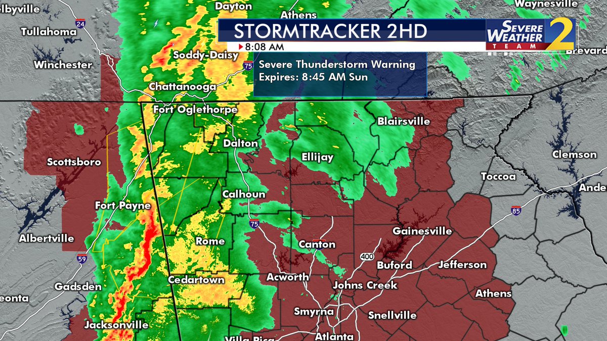
-Severe Thunderstorm Warning right now, including Cherokee, Etowah, County area in Alabama to our West.
-Now Severe Thunderstorm Warning Walker County NW GA and more.\ Walker County Severe Thunderstorm
Speaking of counties, watch this post from Spann, amazingly up to 85% of folks can't find their county on an outline only map. What do they teach these kids today? (It's a Twitter link, but you should be able to watch it regardless). Fireside Chat, maps in weather emergencies
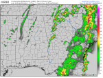
National weather svc moved the probability map more north last night . most of georgia now in the lower group ( yellow). Timing looks like now through early afternoon. Stay safe
There is a tornado warning in the Quitman county area.
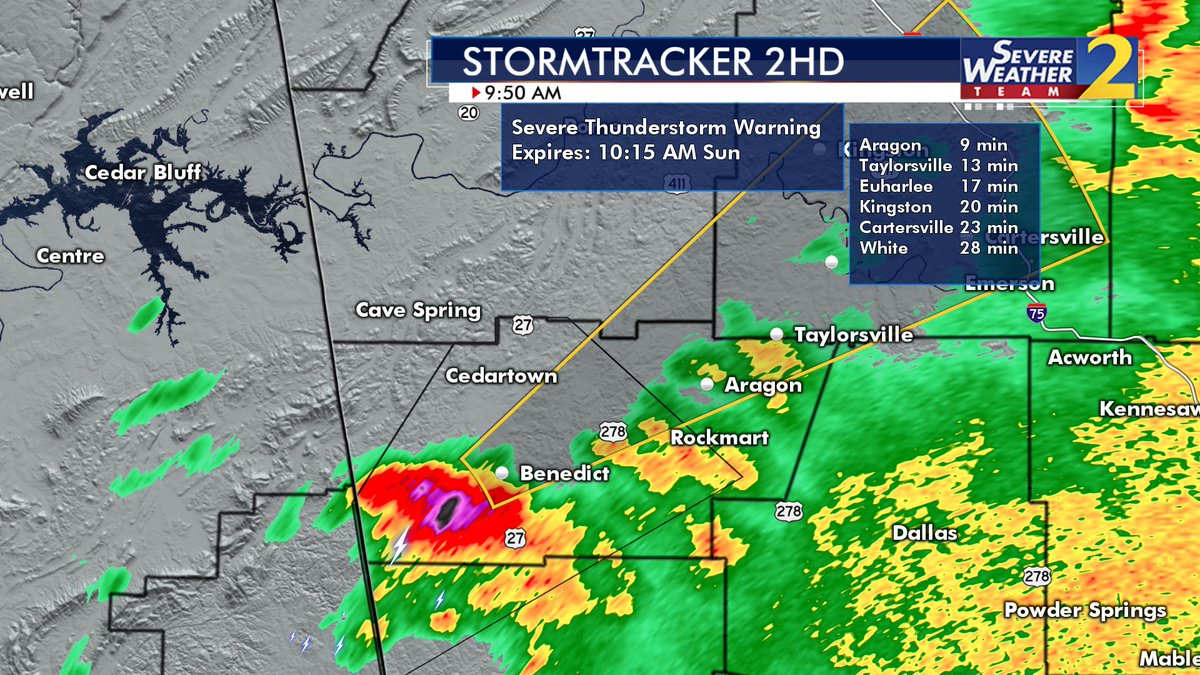
️️And Another Warning️️
This place is not for the rough weather in these post. The rain just washed away some of these post.
Let’s keep it that way. OK ?
There will be a second line that develops around 5-7 PM tonight. If the sun comes out after this bout of rain goes by, that line could become severe. That's not in any NWS comments or graphics. LOL. However you can see it on the HRRR model and the NAM model.
The cell that is currently East of Griffin has some rotation in it, but not a tornado signature.


 ️
️