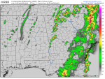
Looks windy in the SWGA area.
Welcome Guest!
You are using an out of date browser. It may not display this or other websites correctly.
You should upgrade or use an alternative browser.
You should upgrade or use an alternative browser.
General Weather topics. 2019.
- Thread starter kmckinnie
- Start date
Dirtroad Johnson
Senior Member
Calm & cloudy here in Wilcox, was raining less than an hour ago but not right now.
dwhee87
GON Political Forum Scientific Studies Poster
Windy in Mayretta. Had a brief shower blow through about 30 minutes ago with some easter egg-sized raindrops.
Batjack
Cap`n Jack 1313
A few BIG rain drops on the truck hood a little bit ago here in the 30127...won't be long now.
blood on the ground
Cross threading is better than two lock washers.
Zee wind .... She is blowing!
We will have weather for an undetermined period of time going forward.
normaldave
GON Weatherman
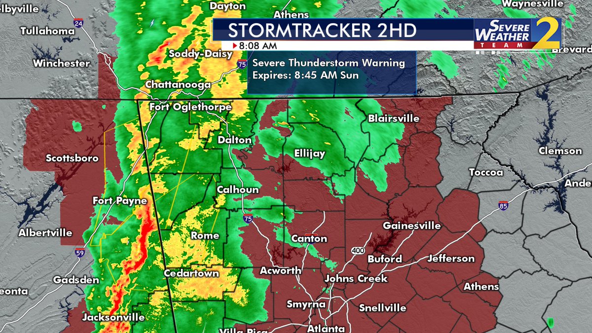
Getting with it here in NW Georgia:
-Tornado watch until 2 PM (including Floyd County)
-Severe Thunderstorm Warning right now, including Cherokee, Etowah, County area in Alabama to our West.
-Now Severe Thunderstorm Warning Walker County NW GA and more.\
Walker County Severe Thunderstorm
Speaking of counties, watch this post from Spann, amazingly up to 85% of folks can't find their county on an outline only map. What do they teach these kids today? (It's a Twitter link, but you should be able to watch it regardless).
Fireside Chat, maps in weather emergencies
Here's ours:

normaldave
GON Weatherman
Ruh Roh, Reggy, now a Severe Thunderstorm Warning (IMBY!)
normaldave
GON Weatherman
Bam: (Red background is Tornado Watch area until 2PM)

livinoutdoors
Goatherding Non-socialist Bohemian Luddite
National weather svc moved the probability map more north last night . most of georgia now in the lower group ( yellow). Timing looks like now through early afternoon. Stay safe
normaldave
GON Weatherman
NWS Atlanta radar, "heads up everybody". (Looks like that means you too Columbus...)


Last edited:
We moved our kids trampoline last week and I just remembered I haven't anchored it...
normaldave
GON Weatherman
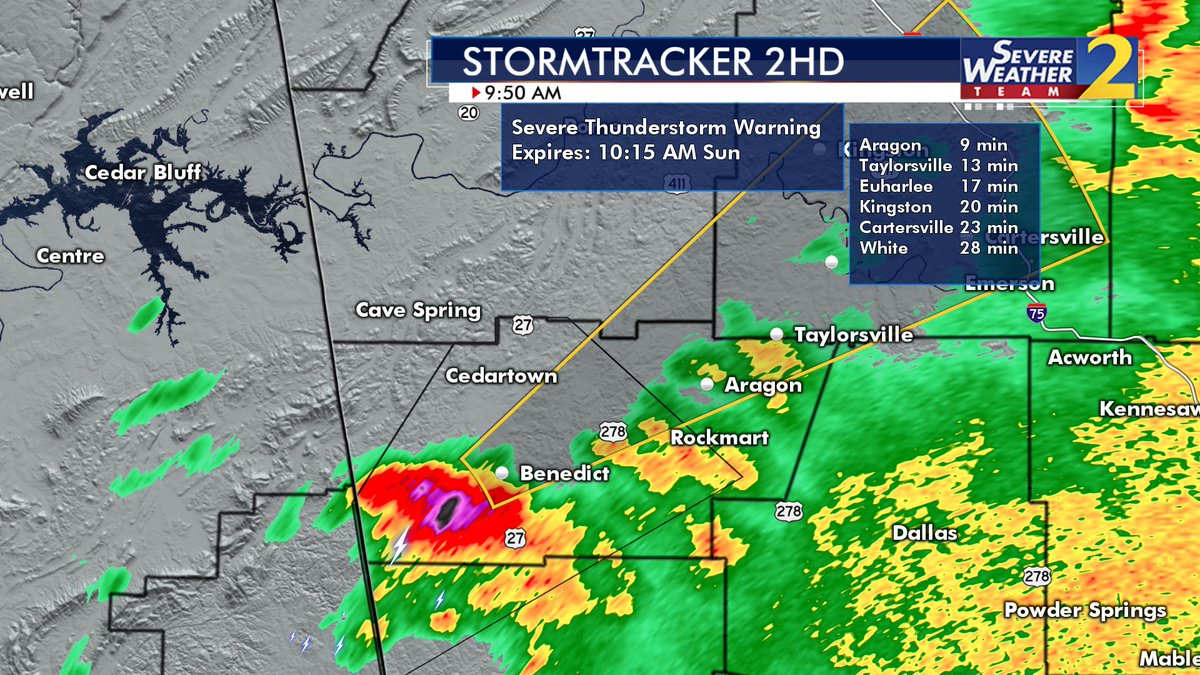
Hey Cedartown, got one trying to sneak in your back door, Storm itself reportedly moving NE at 75 MPH!

Man that's some rough weather. It tore Hamilton Ms up last night.
There is a tornado warning in the Quitman county area.
 ️
️ ️And Another Warning
 ️
️ ️
️
This place is not for the rough weather in these post. The rain just washed away some of these post.
Let’s keep it that way. OK ?
This place is not for the rough weather in these post. The rain just washed away some of these post.
Let’s keep it that way. OK ?
DDD
Winter Weatherman
There will be a second line that develops around 5-7 PM tonight. If the sun comes out after this bout of rain goes by, that line could become severe. That's not in any NWS comments or graphics. LOL. However you can see it on the HRRR model and the NAM model.
The cell that is currently East of Griffin has some rotation in it, but not a tornado signature.
The cell that is currently East of Griffin has some rotation in it, but not a tornado signature.
Attachments
DDD
Winter Weatherman
Now a spotter has spotted a funnel cloud with that one that is East of Griffin. Headed towards Covington.
gobbleinwoods
Keeper of the Magic Word
My weather radio hasn't gone off yet. Local mets saying it is 40 minutes away at present.
Similar threads
- Replies
- 9
- Views
- 1K
