What's the latest greatest tool everyone uses to get good shots of your properties. Google earth hasn't updated in forever. I've used North Woods mapping but they don't have South Georgia in a while either.
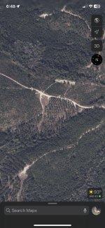
Out of all the sites and app’s I’ve looked at the regular ole maps app on my phone set on the satellite seems to be the most up to date. Part of our club was thinned summer before last and it shows that.
Aerial imagery is usually only updated every 4-6 years in most places, especially rural areas. Even doing GIS mapping at work, with ArcGIS software and access to all the latest downloadable imagery through online server networks, I can't get up to date imagery in most places at most times.
Huntstand has aerial images that are updated monthly if you pay for the "pro" subscription. The detail isn't great but it will show recent thinnings, clear cuts, etc